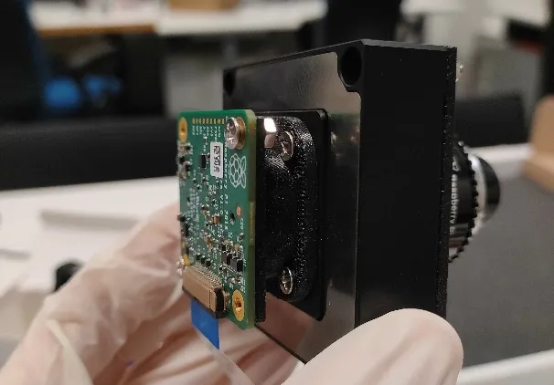
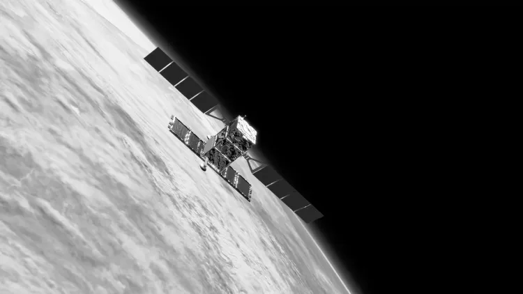
A piezo stage moves the image sensor in counter-phase to the scene to cancel motion blur during Earth observation from very low Earth orbit. I am developing the prototype within Space It Up!.
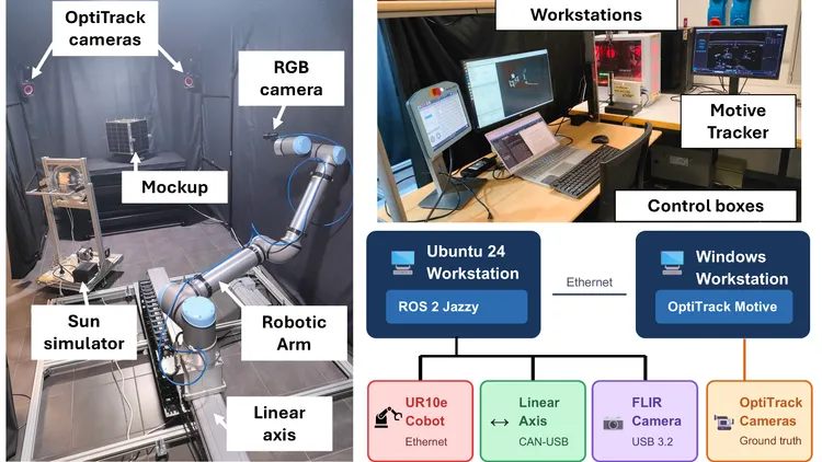
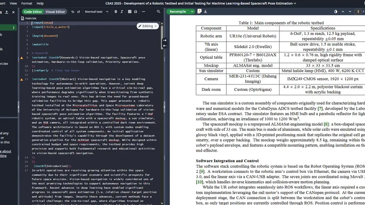
A 7-DoF robotic testbed (UR10e on a linear axis) that reproduces camera-target motion under solar-spectrum light to generate labelled real images for pose estimation. Presented at CEAS 2025.
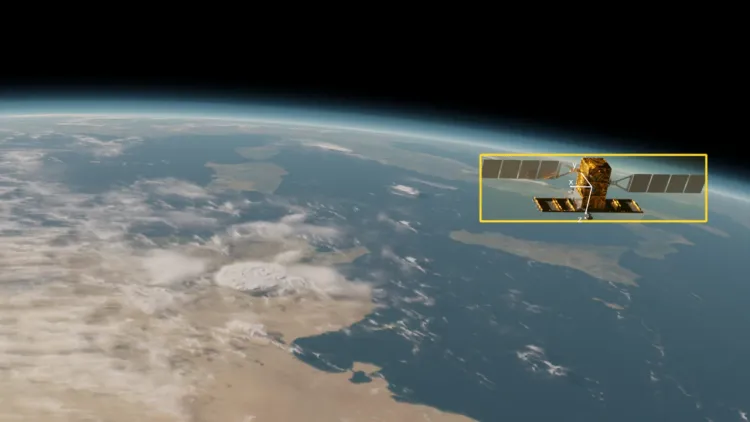
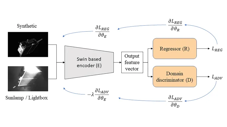
Autonomous satellite navigation with monocular pose estimation and tracking using deep learning, addressing the domain gap and the deployability of the algorithms. The focus of my PhD and my continuing research.
An open-source, one-command self-hosted Overleaf deployment with Zotero integration and an admin dashboard. 27 stars on GitHub.
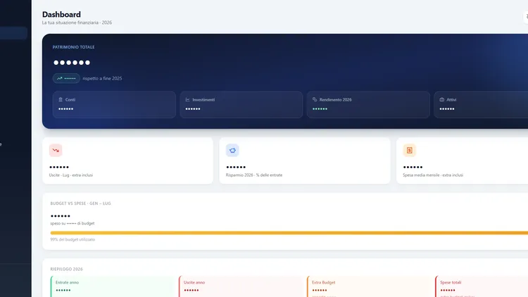
A self-hosted personal finance web app with accounts, budgets, investments, credits and debts, a tax overview, multi-user support, and a privacy mode that hides all amounts. Built and operated as a personal project.
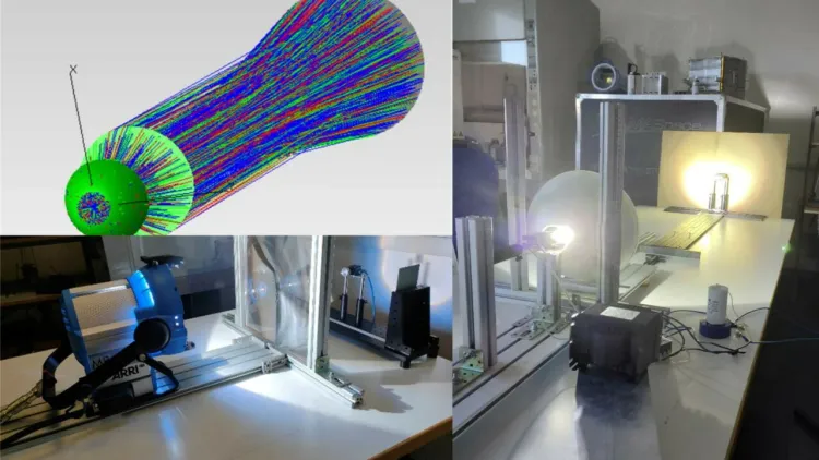
Within the ESA-Nautilus NanoDynA ADCS project, I focus on designing and testing Sun simulator solutions. Key requirements include 0.53° angular divergence, sub-10% spatial non-uniformity, and an illumination working diameter of around 30 cm.
I'm the chair for social media at the 2nd IFAC WACE 2024, overseeing the workshop's online presence. I created the website using Astro V4, implemented AWS Cloud services, and manage the network infrastructure.
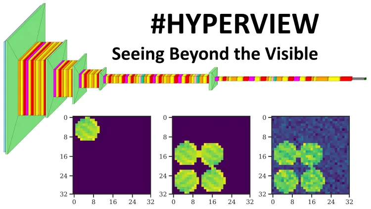
We participated in the ESA's sponsored #HYPERVIEW Competition, challenging researchers to build AI-based methods for estimating soil parameters from hyperspectral images. The code is available on Github.
I led the proposal Multi-Purpose Modular Satellite Servicer, a 12U CubeSat concept for on-orbit life extension, awarded at Expo 2020 Dubai.
I took part in SPEC 2021, a competition challenging researchers to develop algorithms for pose estimation across domain gap. I secured the 4th and 5th positions out of 36 participants on the final leaderboard.
The project centered on conducting a feasibility analysis of Deep Convolutional Neural Networks for camera pose estimation. Within this framework, a dataset was created using Blender, and neural networks were developed and evaluated on a Coral Dev Board Mini.
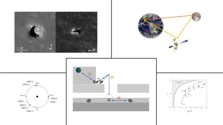
This master thesis, developed in collaboration with Alén Space S.L., explores communication solutions for lunar cave exploration. Focusing on parametric tools and telerobotic operations, the study covers Moon-Earth ground station links, wired connections, and rover-to-interface unit communication.
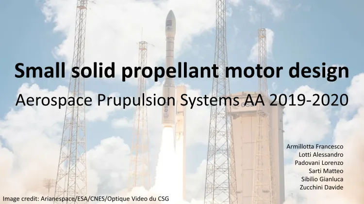
The project involved designing a solid rocket propellant that met specified requirements, encompassing thrust profile, total mass, minimum specific impulse, and aluminum mass content in the propellant. The initiative was carried out as part of the Aerospace Propulsion Systems course under the supervision of Prof. Ponti.
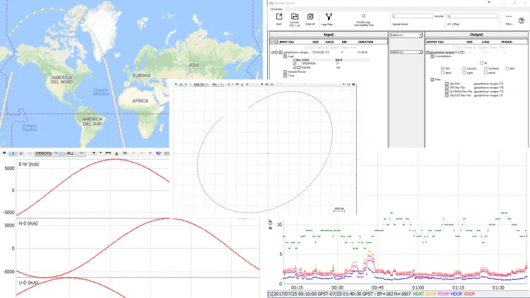
This bachelor thesis centers on a Cubesat project with a GPS payload, assessing low-cost GNSS receivers for real-time orbital determination. Employing MATLAB and RTKLib, the project aims to estimate minimal errors in position and velocity. Utilizing the university's prior involvement in the ESEO mission, simulation data from an ESEO receiver serves as a key reference.
We developed an Android application to enhance counseling for prospective students and streamline the search for information regarding the courses, structures, and services of the University of Bologna. This effort resulted in securing the first place at Almacontest 2017.